
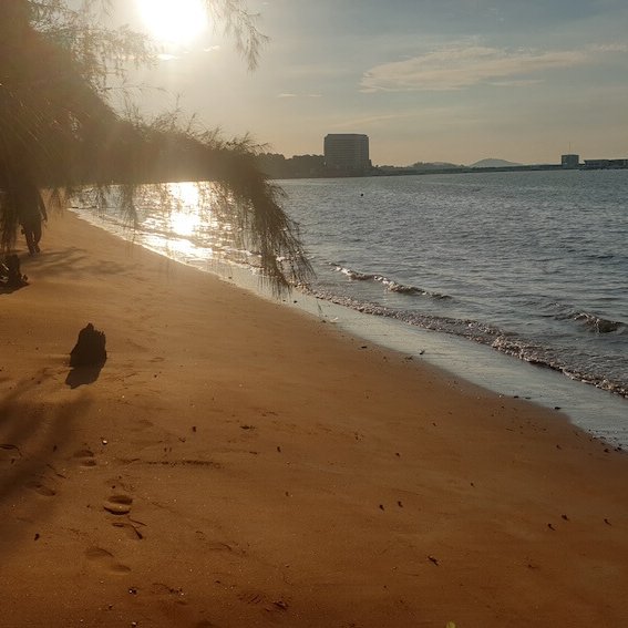
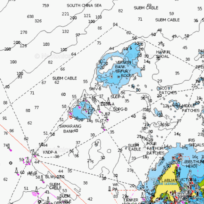
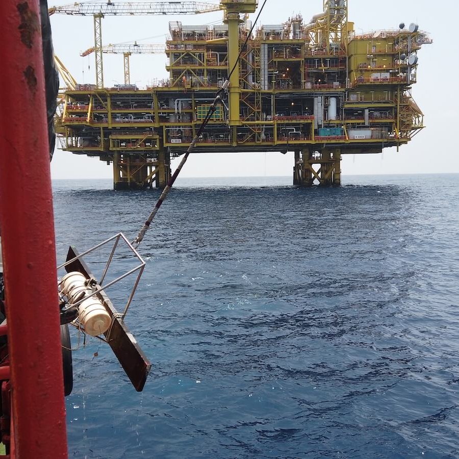
This marine environmental baseline survey was undertaken by MRF on behalf of Chemsain Konsultant Sdn Bhd for the Dalak Pipeline Project, commissioned by Petronas Carigali Sdn Bhd. The Dalak Pipeline Project comprised the construction of a 44.2-km gas pipeline which tee-off from the main Sabah-Sarawak Gas Pipeline (SSGP) in Sipitang running in parallel to the southern coast of Klias Peninsula to land at Petronas Chemicals Methanol Sdn Bhd Plant-2 (PCMSB-2) in Labuan.
This project was part of a larger Environmental Baseline Survey conducted as a requirement for the Environmental Impact Assessment (EIA). MRF was contracted to identify, analyse and describe marine features (coral reefs, seagrasses, fisheries and other key marine lifeforms (including mangroves, macrobenthos and meiobenthos) in the immediate vicinity of the proposed pipeline alignment.
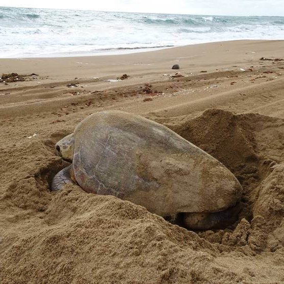
MRF also conducted aerial surveys to scan waters along the proposed pipeline area and a zone 5km to either side of the proposed pipeline (over water) to count and locate dugongs and marine turtles. Marine features were marked, mapped and documented. Other important marine based economic activities encountered during the survey were also highlighted.
MRF was also tasked with conducting surveys and interviews with fishermen and relevant stakeholders, particularly the Department of Fisheries to describe and determine the importance of the fishery industry in the area, and to identify important fishing ground area in nearby vicinity and list of typical catches (species composition, characteristics, and average catches, and convert image information (coral, seagrasses, sensitive fishing grounds, etc.) into individual GIS layers.
Finally, MRF was asked to propose appropriate mitigating measures and monitoring programme to minimize the anticipated impacts
